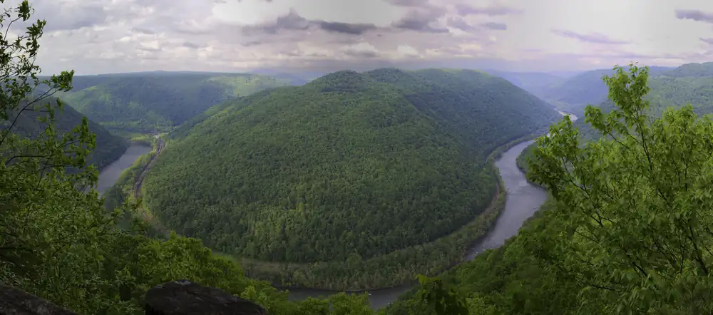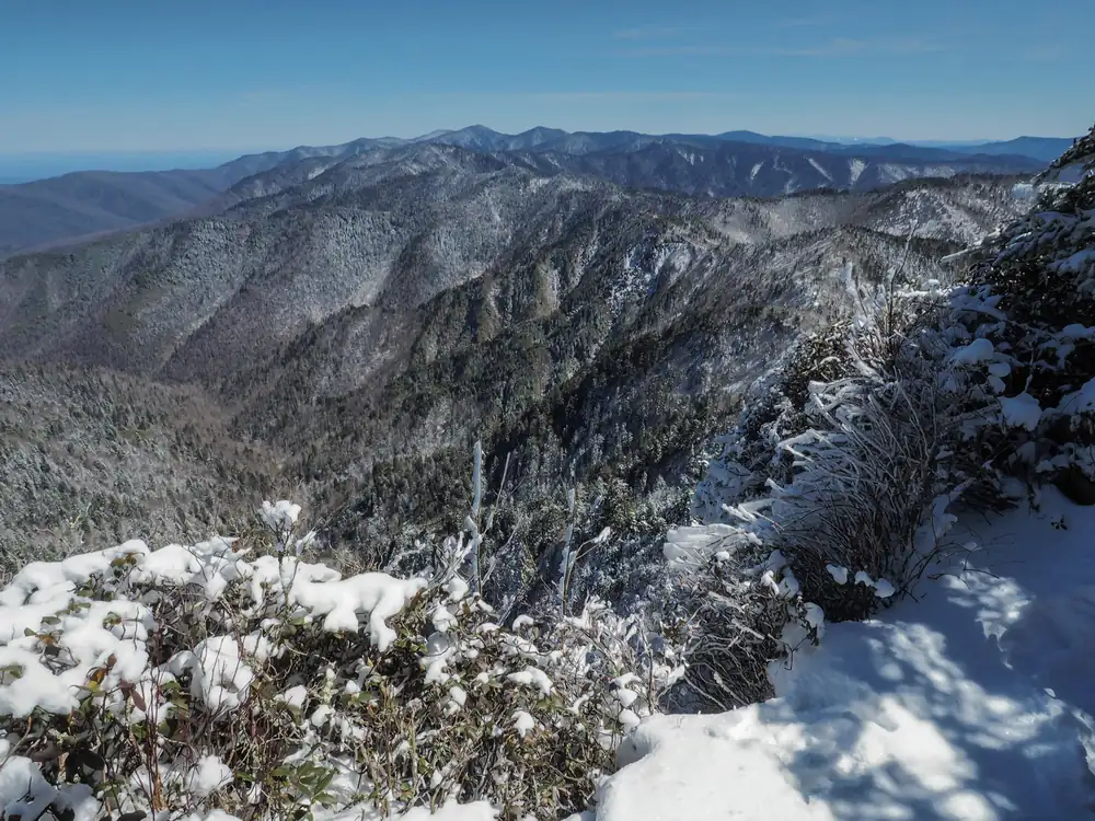
Great Smoky Mountains National Park covers 522,427 acres in North Carolina and Tennessee. It became a national park on June 15, 1934, the 21st of today’s 64 parks to get that title. It recorded 11,527,939 recreation visits in 2025, the 1st most of the 63 parks with a 2025 count.
Today at Great Smoky Mountains
LiveLoading the forecast…
Checking park alerts…
Alerts: National Park Service, checked hourly. Forecast: National Weather Service, for Sugarlands Visitor Center. Always confirm on the official park site before you set out.
In the park service’s words
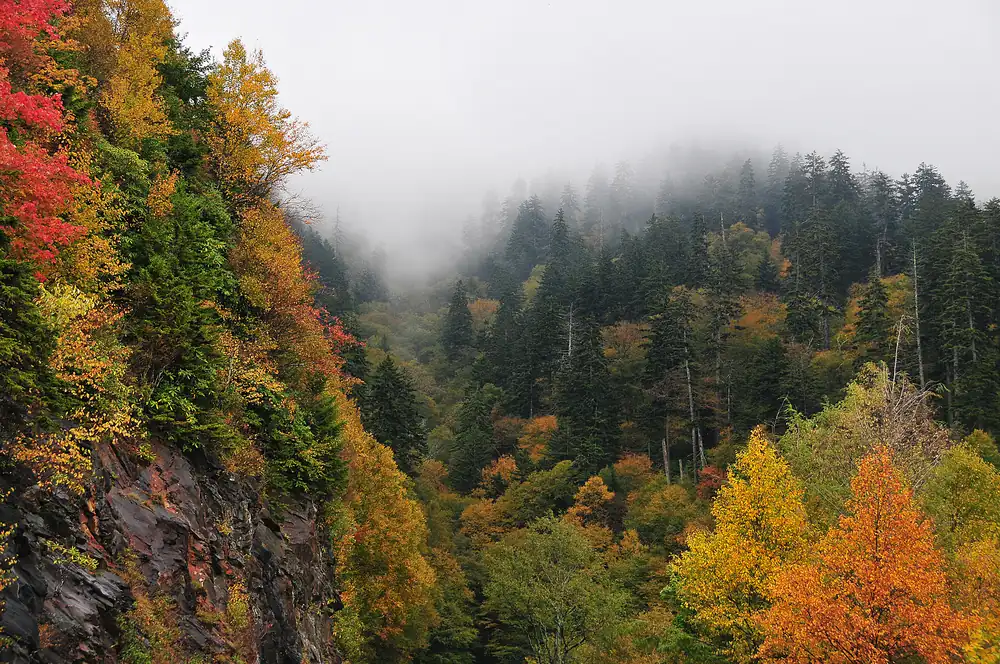
Ridge upon ridge of forest straddles the border between North Carolina and Tennessee in Great Smoky Mountains National Park. World renowned for its diversity of plant and animal life, the beauty of its ancient mountains, and the quality of its remnants of Southern Appalachian mountain culture, this is America's most visited national park. Plan your visit today!
From the National Park Service (public domain).
Entrance fee and passes
No entrance fee is listed for this park in National Park Service data. You do not need a pass to enter. Parking, ferry, boat or other transport fees can still apply.
Reservations and permits in 2026
No entrance fee, but any vehicle parked for more than 15 minutes needs a parking tag ($5 a day, $15 a week, $40 a year).
Check the park’s own site before you go, because these systems change from year to year.
Best time to visit
- Best time to visit Great Smoky Mountains: April and August to October. The weather is at its most comfortable then, and crowds are lighter than at the peak.
- Busiest month: October, with about 1,593,295 visits in a typical recent year. That is 3.9 times as many as January.
- Quietest month: January (408,535 visits).
Bar height: visitors that month, compared with the busiest month. Temperatures: average daily high and low (°F); rain and snow: monthly averages. Best marks the months we suggest.
More detail: the best time to visit Great Smoky Mountains, month by month.
Plan your visit
- Best time to visit: crowds and weather month by month
- Itinerary: ready-made plans for 1 to 3 days
- Things to do: 41 hikes and 4 other activities
- Camping, RVs and lodging: 13 campgrounds, 1 lodges
- Getting there: Nearest gas to Sugarlands Visitor Center: Marathon in Gatlinburg, 1.6 miles away. Closest airport McGhee Tyson Airport (31 mi)
- Know before you go: safety, what to pack and what to leave at home
Popular hikes
- Hike to Abrams Falls: Walk 5 miles (8 km) roundtrip through rhododendron, hemlock, and pine-oak forest to a 25-foot (7.6-m) waterfall and scenic pool. Swimming in the pool is not recommended due to slippery rocks and a dangerous undertow.
- Hike the Gatlinburg Trail: Enjoy a riverside stroll approximately 4 miles (6.4 km) roundtrip through a cove hardwood forest along one of the only dog- and bike-friendly trails in the park. This trail includes sections of sidewalks and roadsides as well as graded dirt path.
- Hike to Chimney Tops Overlook: Hike 3.5 miles (5.6 km) roundtrip on this popular but challenging trail to enjoy views of surrounding mountains and the Chimney Tops pinnacles. This trail is steep and rocky at times, and includes bridges, stairs, and some lingering signs of 2016 wildfires.
- Hike to Mount Le Conte on Bullhead Trail: One of five routes to Mount Le Conte, the Bullhead Trail offers consistent views. The strenuous hike is 13.6 miles (21.9 km) roundtrip. Near the beginning, visitors will see rocky cliffs and climb the Bullhead, a heath-covered bald that may resemble a bull's head from a distance.
- Hike Smokemont Nature Trail: Hike 0.62-mile (1 km) roundtrip on Smokemont Nature Trail which provides a peaceful escape and views of the surrounding peaks.
Webcams
Weather, in the park service’s words
The park service says:
Elevations in the park range from approximately 875 feet (267 meters) to 6,643 feet (2,025 meters) and the topography can drastically affect local weather. Temperatures can vary by 10-20 degrees Fahrenheit from mountain base to top, and clear skies lower down do not guarantee equally pleasant weather at higher elevations.
From the National Park Service (public domain).
Nearby national parks by road
- Congaree (South Carolina): about 4 h 40 min by car (219 miles)
- Mammoth Cave (Kentucky): about 5 h by car (242 miles)
- New River Gorge (West Virginia): about 5 h 10 min by car (261 miles)
- Shenandoah (Virginia): about 7 h 50 min by car (393 miles)
Drive times run between the closest visitor centers of each pair, estimated with OSRM routing on OpenStreetMap roads. Link several parks with the road trip planner.
Sources
Last checked 1 November 2026.
Frequently asked questions
How much does it cost to enter Great Smoky Mountains National Park?
No entrance fee is listed for this park in National Park Service data.
What state is Great Smoky Mountains National Park in?
North Carolina and Tennessee.
When did Great Smoky Mountains become a national park?
June 15, 1934.
How many people visit Great Smoky Mountains?
11,527,939 recreation visits were counted in 2025.
Do you need a reservation for Great Smoky Mountains in 2026?
No entrance fee, but any vehicle parked for more than 15 minutes needs a parking tag ($5 a day, $15 a week, $40 a year).
When is the best time to visit Great Smoky Mountains?
April and August to October. October is the busiest month and January the quietest while the park is fully open.