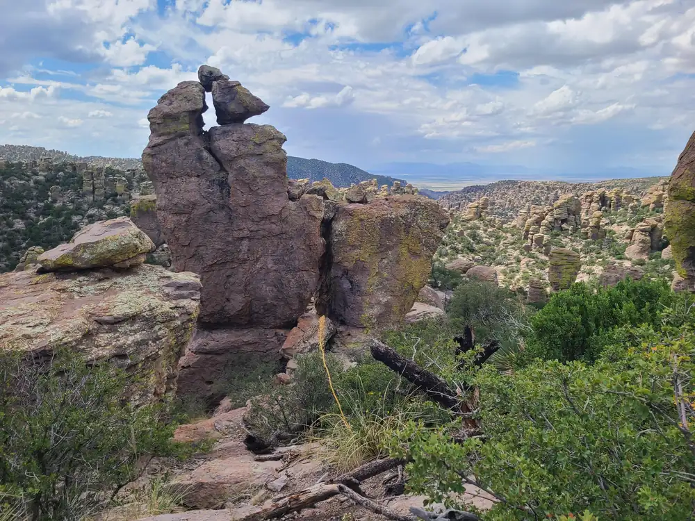
Chiricahua became the 64th U.S. national park on October 20, 2026, when the Chiricahua National Park Act was signed. It had been a national monument since 1924. The park covers about 12,000 acres of rhyolite spires and balanced rocks in southeastern Arizona, near Willcox, and the law kept the old monument’s boundaries.
Today at Chiricahua
LiveLoading the forecast…
Checking park alerts…
Alerts: National Park Service, checked hourly. Forecast: National Weather Service, for Visitor Center. Always confirm on the official park site before you set out.
In the park service’s words
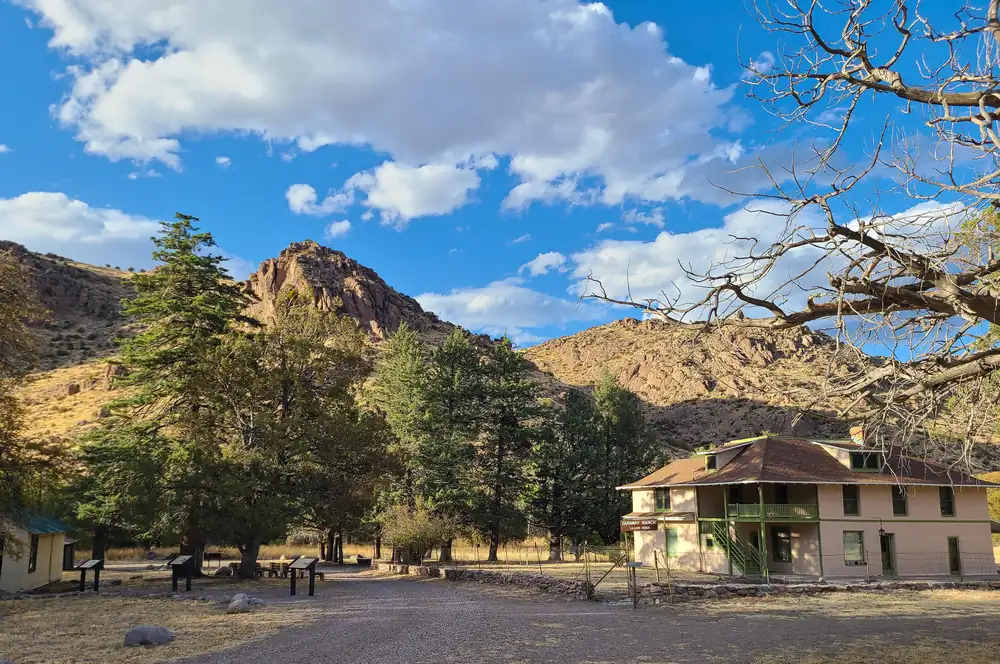
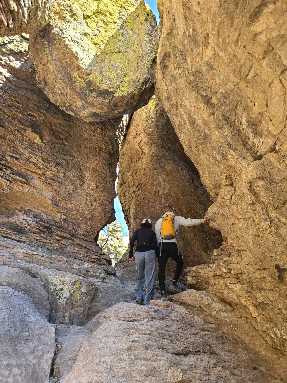
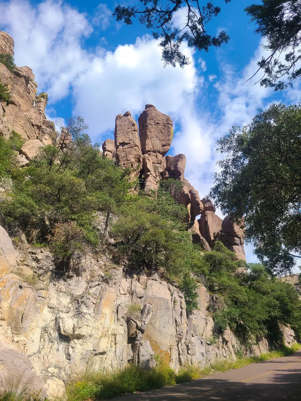
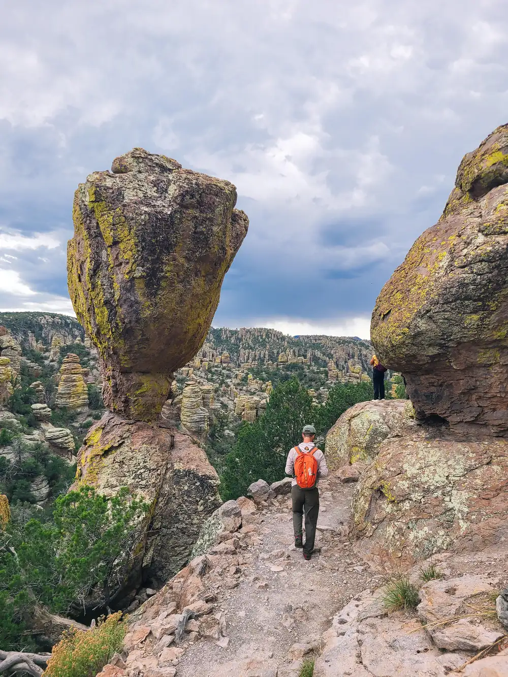
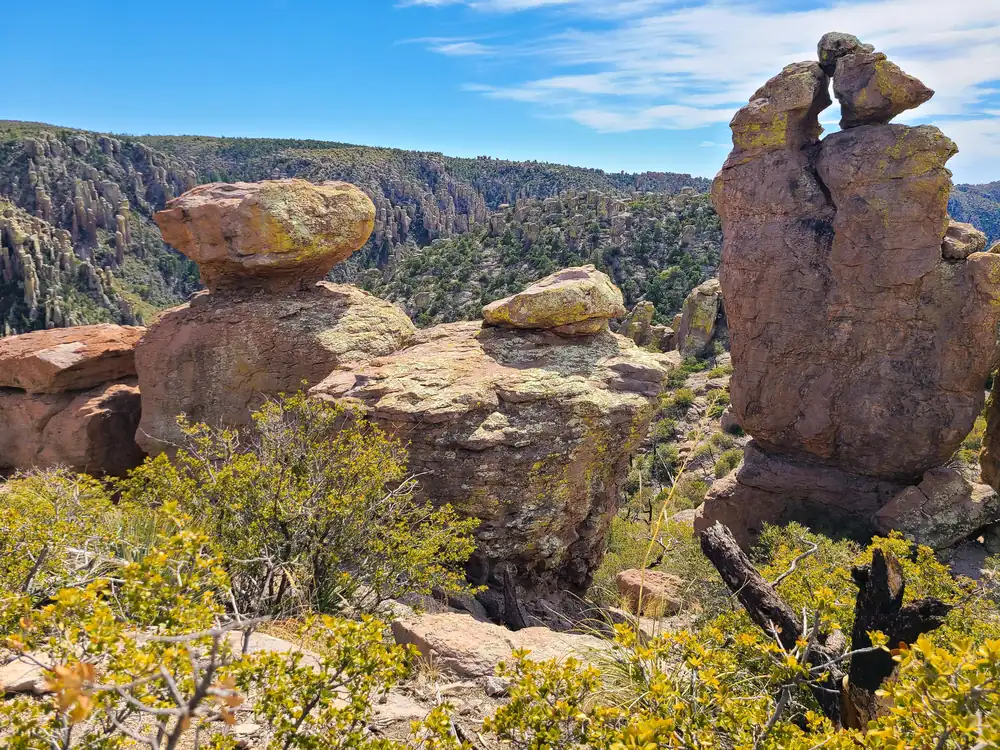
Explore rhyolite pinnacles and balanced rocks on foot or by car. Relax at the campground under star-filled, dark skies. See how a mountain range rising between two deserts creates a home for diverse wildlife. Imagine history here. Prehistoric peoples, Apaches, Buffalo Soldiers, Civilian Conservation Corps, ranchers, and homesteaders inhabited Chiricahua.
From the National Park Service (public domain).
Entrance fee and passes
No entrance fee. Campground fees apply. You do not need a pass to enter.
Best time to visit
- Best time to visit Chiricahua: February, May, October and November. The weather is at its most comfortable then, and crowds are lighter than at the peak.
- Busiest month: March, with about 12,272 visits in a typical recent year. That is 4.9 times as many as July.
- Quietest month: August (2,286 visits), when weather or closures keep most people away.
Bar height: visitors that month, compared with the busiest month. Temperatures: average daily high and low (°F); rain and snow: monthly averages. Best marks the months we suggest.
More detail: the best time to visit Chiricahua, month by month.
Plan your visit
- Best time to visit: crowds and weather month by month
- Itinerary: ready-made plans for 1 to 3 days
- Things to do: 14 hikes and 5 other activities
- Camping, RVs and lodging: 1 campgrounds
- Getting there: Nearest gas to Visitor Center: Southwestern Research Station, 12.2 miles away. Closest airport Grant County Airport (82 mi)
- Know before you go: safety, what to pack and what to leave at home
Popular hikes
- Trail to Natural Bridge (3 to 4 Hours): This trail is a great opportunity to avoid the crowds in March and to see wildlife. It crosses through a stunning variety of ecosystems before ending at a bridge overlook. The small water-carved bridge is located across the canyon. This hike is about the journey, not the bridge. Return the same way.
- Hike the Trails at Chiricahua (1 to 9 Hours): 17 miles of trails will take you into a wilderness of rocks. Chiricahua offers a range of day hiking options from easy to strenuous.
- Lower Rhyolite Canyon Trail: A good way to view the rocks without driving up the road, this mostly-level trail takes you to Rhyolite Canyon, a canyon lined with rock pinnacles. Walk 1.5 miles / 2.4 km until you reach the junction between Upper Rhyolite Canyon and Sarah Deming trails. Return the same way.
- Sugarloaf Mountain Trail (1 to 2 Hours): This moderate trail to the top of Sugarloaf Mountain is 1.8 miles/2.8 kilometers roundtrip. Rising above the surrounding canyons, the summit of Sugarloaf Mountain at 7,310ft/2,228m is one of the highest points in the monument. The dark rock is dacite, evidence of a lava flow. Lightning activity is monitored from the Ci
- Echo Canyon to Visitor Center (2 to 4 Hours): This moderate, 4.2 mile/6.8 kilometer trail begins at Echo Canyon trailhead and consists of Echo Canyon, Upper Rhyolite Canyon, and Lower Rhyolite Canyon trails ending at the Visitor Center. It goes downhill through spectacular rock formations in Echo Canyon. The last half of the hike is in shaded oak woodlands. Make s
Weather, in the park service’s words
The park service says:
The park elevation goes from 5,124 feet at the entrance to 7,310 feet on Sugarloaf Mountain. The top of the park can be 5-10 degrees cooler and windier than the visitor center and entrance. The higher elevations generally have more sun exposure. Clothing layers are always recommended here. The park is often cooler than cities in Arizona with summer highs in the 80s and 90s. Winter lows are often near or below freezing.
From the National Park Service (public domain).
Nearby national parks by road
- Saguaro (Arizona): about 2 h 15 min by car (112 miles)
- White Sands (New Mexico): about 5 h 10 min by car (281 miles)
- Petrified Forest (Arizona): about 6 h 35 min by car (310 miles)
- Guadalupe Mountains (Texas): about 6 h 55 min by car (381 miles)
Drive times run between the closest visitor centers of each pair, estimated with OSRM routing on OpenStreetMap roads. Link several parks with the road trip planner.
Sources
Last checked 1 November 2026.
Frequently asked questions
How much does it cost to enter Chiricahua National Park?
No entrance fee. Campground fees apply.
What state is Chiricahua National Park in?
Arizona.
When did Chiricahua become a national park?
October 20, 2026. It was a national monument from 1924.
When is the best time to visit Chiricahua?
February, May, October and November. March is the busiest month and July the quietest while the park is fully open.