Glacier Bay National Park & Preserve covers 3,223,383 acres in Alaska. It became a national park on December 2, 1980, the 42nd of today’s 64 parks to get that title. It recorded 740,044 recreation visits in 2025, the 32nd most of the 63 parks with a 2025 count.
Today at Glacier Bay
LiveLoading the forecast…
Checking park alerts…
Alerts: National Park Service, checked hourly. Forecast: National Weather Service, for Glacier Bay National Park Visitor Center. Always confirm on the official park site before you set out.
In the park service’s words
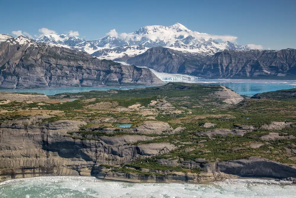
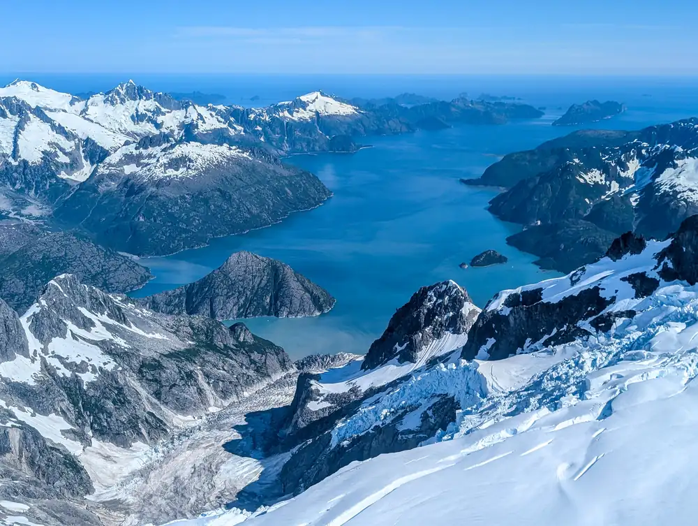
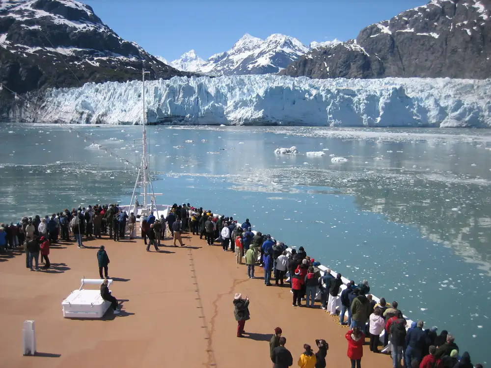
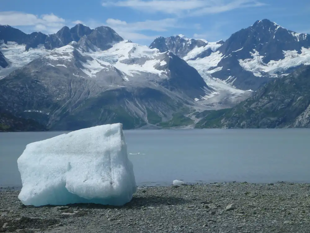
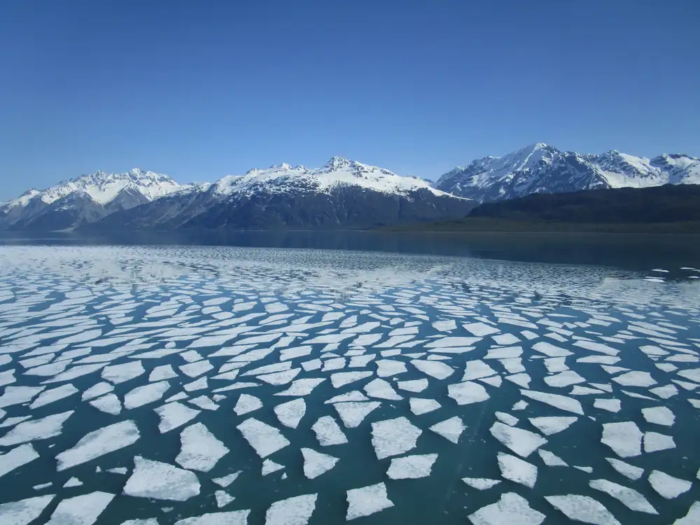
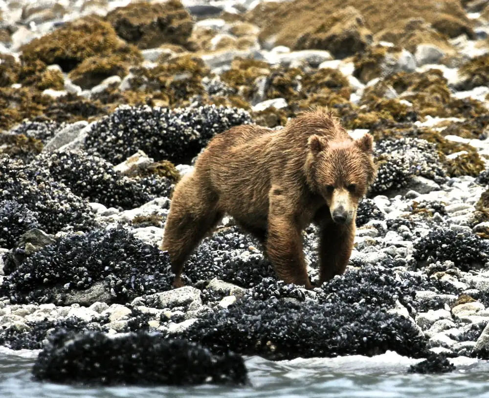
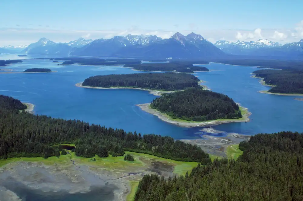
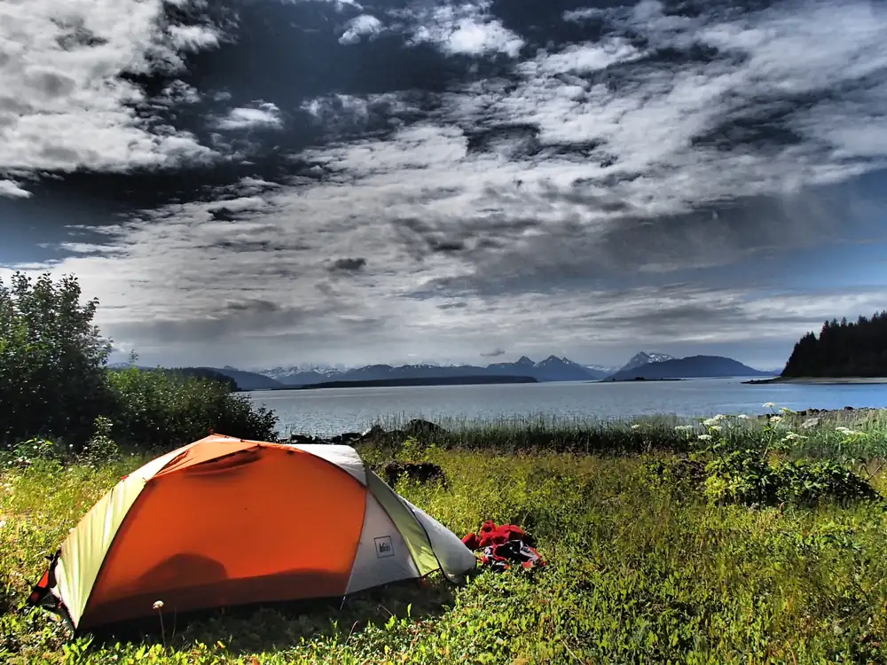
Covering 3.3 million acres of rugged mountains, dynamic glaciers, temperate rainforest, wild coastlines and deep sheltered fjords, Glacier Bay National Park and Preserve is known as Homeland to the Huna and Yakutat Lingít, and is a highlight of Alaska's Inside Passage. From sea to summit, Glacier Bay offers limitless opportunities for adventure and inspiration.
From the National Park Service (public domain).
Entrance fee and passes
No entrance fee is listed for this park in National Park Service data. You do not need a pass to enter. Parking, ferry, boat or other transport fees can still apply.
Best time to visit
- Best time to visit Glacier Bay: June to August. The weather is at its most comfortable then, and crowds are lighter than at the peak.
- Busiest month: July, with about 153,698 visits in a typical recent year. That is 3.8 times as many as October.
- Quietest month: December (220 visits), when weather or closures keep most people away.
Bar height: visitors that month, compared with the busiest month. Temperatures: average daily high and low (°F); rain and snow: monthly averages. Best marks the months we suggest.
More detail: the best time to visit Glacier Bay, month by month.
Plan your visit
- Best time to visit: crowds and weather month by month
- Things to do: 1 hikes and 5 other activities
- Camping, RVs and lodging: 1 campgrounds, 1 lodges
- Getting there: closest airport Gustavus Airport (48 mi)
- Know before you go: safety, what to pack and what to leave at home
Popular hikes
- Hike the Trails at Bartlett Cove: Bartlett Cove has the only developed trails in the park. The forests and shorelines offer great hiking opportunities through a beautiful setting and a chance to see all manner of wildlife. Spend some time, stretch your legs, and discover the wonders of the park!
Webcams
- Bartlett Cove Public Dock
- Bartlett Cove Lagoon and Fairweather Range
- Bartlett Cove Dock and Tlingit Trail
- Lower Glacier Bay
Weather, in the park service’s words
The park service says:
Summer temperatures average 50° to 60° F (10° to 15° C). Rain is the norm in lush southeast Alaska. It is best to be prepared to enjoy the park in any kind of weather, especially rain. Suggested clothing includes waterproof boots, rain gear, a hat, gloves, wool or pile layers or a warm coat. Good rain gear is essential here. April, May and June are usually the driest months of the year. September and October tend to be the wettest.
From the National Park Service (public domain).
Nearby national parks by road
- Wrangell-St. Elias (Alaska): about 24 h 35 min by car (666 miles)
- Denali (Alaska): about 29 h 35 min by car (927 miles)
- Kenai Fjords (Alaska): about 32 h 35 min by car (1,045 miles)
- Glacier (Montana): about 51 h 55 min by car (1,986 miles)
Drive times run between the closest visitor centers of each pair, estimated with OSRM routing on OpenStreetMap roads. Link several parks with the road trip planner.
Sources
Last checked 1 November 2026.
Frequently asked questions
How much does it cost to enter Glacier Bay National Park & Preserve?
No entrance fee is listed for this park in National Park Service data.
What state is Glacier Bay National Park & Preserve in?
Alaska.
When did Glacier Bay become a national park?
December 2, 1980.
How many people visit Glacier Bay?
740,044 recreation visits were counted in 2025.
When is the best time to visit Glacier Bay?
June to August. July is the busiest month and October the quietest while the park is fully open.