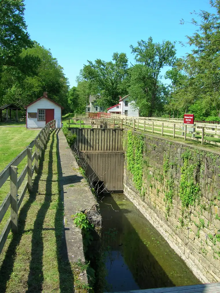
Lower Delaware National Wild and Scenic River is a national wild and scenic river run by the National Park Service in Pennsylvania and New Jersey.
In the park service’s words
The Delaware River, the largest free-flowing river in the eastern United States, runs past forests, farmlands and villages. It also links some of the most densely populated regions in America. In 2000, the National Wild and Scenic River System incorporated key segments of the lower Delaware River to form this unit of the National Park System.
From the National Park Service (public domain).
Fees and hours
Entrance fee: No entrance fee.
Hours: Daily, Sunrise to Sunset. The largest free-flowing river in the eastern United States, the Delaware River runs past forests, farmlands, and villages, and it also links some of the most densely populated regions in America. In 2000, the National Wild and Scenic River System incorporated key segments of the lower Delaware River to form this unit of the National Park System.
Getting there
The Lower Delaware National Wild and Scenic River is located between Interstate 80 (at Portland, Pennsylvania and Columbia, New Jersey) and Interstate 95 (at exit 51 in Washington Crossing, Pennsylvania and exit 1 in Washington Crossing, New Jersey). In Pennsylvania, follow PA-611 and PA-32 to drive along the river. In New Jersey, follow NJ-29 south of Frenchtown for a drive along the river.
| Airport | City | Drive to the park | Straight-line miles | Type |
|---|---|---|---|---|
| Trenton Mercer Airport (TTN) | Ewing Township, NJ | No road route | 12 | Regional |
| Lehigh Valley International Airport (ABE) | Allentown/Bethlehem, PA | No road route | 30 | Regional |
| Philadelphia International Airport (PHL) | Philadelphia, PA | No road route | 39 | Large hub |
Drive times run from the airport to Zion Canyon Visitor Center, estimated with OSRM routing on OpenStreetMap roads at normal speeds; allow extra for traffic, stops and construction.
Miles are straight-line distances.
Weather
Spring: Temperatures usually range from lows of 26 F to highs of 80 F with average rainfall of 5 inches. Summer: Temperatures usually range from lows of 55 F to highs of 85 F with average rainfall of 4 inches. Fall: Temperatures usually range from lows of 30 F to highs of 83F. Fall foliage is at its peak sometime in October as daily mountain temperatures vary frequently and influence the change. Winter: Temperatures usually range from lows of 15 F to highs of 49 F.
From the National Park Service (public domain).
Know before you go
Drones are banned at almost every park site, and you may not take rocks, plants or artifacts. Pets must be on a leash no longer than 6 feet where they are allowed. Bring no firewood from home.
Nearby
The nearest national park is Shenandoah, about 221 miles away in a straight line.
Sources
- National Park Service Data API: Lower Delaware National Wild and Scenic River (public domain)
- Official website
Last checked 1 November 2026.
Frequently asked questions
Is there an entrance fee at Lower Delaware National Wild and Scenic River?
No entrance fee.
Where is Lower Delaware National Wild and Scenic River?
In Pennsylvania, New Jersey. The closest airport with scheduled flights is Trenton Mercer Airport, about 12 miles away.
More sites nearby
 RiversAlagnak Wild River
Wild River in Alaska. No entrance fee.
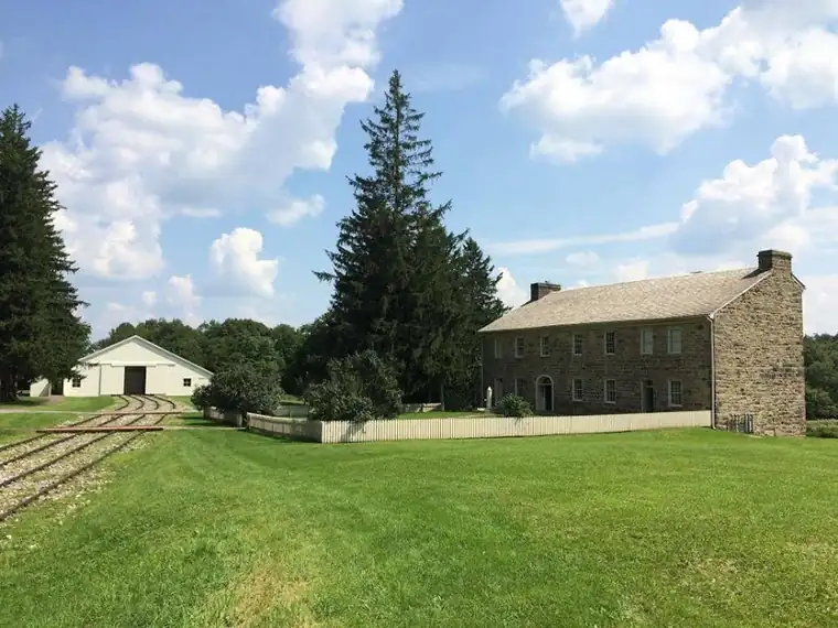 Historic sitesAllegheny Portage Railroad National Historic Site
National Historic Site in Pennsylvania. No entrance fee. 5 hikes listed.
 TrailsAppalachian National Scenic Trail
National Scenic Trail in 14 states. No entrance fee. 1 hikes listed.
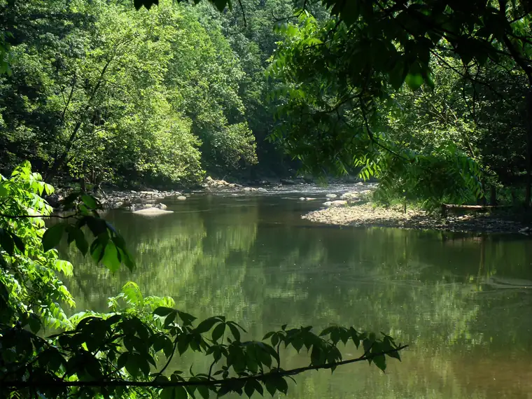 RiversBluestone National Scenic River
National Scenic River in West Virginia. No entrance fee.
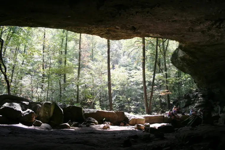 RiversBuffalo National River
National River in Arkansas. No entrance fee. 16 hikes listed.
 TrailsCaptain John Smith Chesapeake National Historic Trail
National Historic Trail in 6 states. No entrance fee. 1 hikes listed.