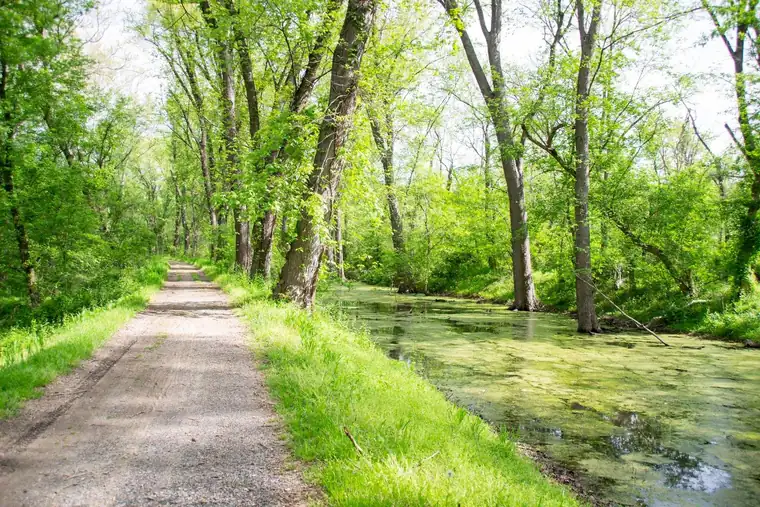
Chesapeake & Ohio Canal National Historical Park is a national historical park run by the National Park Service in 3 states.
In the park service’s words
Preserving America's early transportation history, the C&O Canal began as a dream of passage to Western wealth. Operating for nearly 100 years the canal was a lifeline for communities along the Potomac River as coal, lumber, and agricultural products floated down the waterway to market. Today it endures as a pathway for discovering historical, natural, and recreational treasures.
From the National Park Service (public domain).
Things to do
- Multi-Park Loop: Park your car and stretch your legs! Visit four different National Parks in Washington, DC and begin logging miles on seven different National Historic or National Scenic trails!
- Skiing and Snowshoeing the C&O Canal Towpath: During the winter months, the C&O Canal may accumulate enough snow for winter activities like skiing and snowshoeing. Visitors can step out onto the towpath and enjoy a short or multi-mile journey along the historic canal
- Take the Scenic Route on the Potomac Heritage Trail (1 to 8 Hours): There are many places to access the Potomac Heritage Trail, including many connector trails from county parks.
- Wildlife Watching - Oldtown C&O Canal (2 to 4 Hours): Head down the C&O Canal NHP towpath in Oldtown, Maryland into a rare ecosystem mirroring that of the West. Spot a variety of wildlife and dragonfly species in this secluded hotspot.
- Take a Boat Ride on the Canal (1 to 1 Hours): Today, visitors can enjoy life on the canal during a free replica canal launch boat program at Williamsport. During the late 19th and early 20th century, 30-foot battery and steam powered launch boats traveled the canal for leisure and business.
- Hike Along the Towpath Through the Paw Paw Tunnel (1 to 2 Minutes): Walk through the 3,118-foot Paw Paw Tunnel, a significant engineering feature along Mile 155 of the C&O Canal towpath.
- Bike the C&O Canal Towpath (3 to 5 Days): By bicycle or on foot, try a short day trip or travel the entire 184.5-mile length of the Chesapeake and Ohio Canal Towpath.
- Explore the C&O Canal Williamsport Visitors Center (20 to 60 Minutes): Visit the Williamsport Visitor Center at Cushwa Basin for information about the Canal and the surrounding area, sites including an aqueduct, rail lift-bridge, lockhouse, and operable locks.
Fees and hours
Entrance fee: $20 per vehicle. The America the Beautiful pass covers it.
Hours: Daily, Sunrise to Sunset. The towpath is open 365 days a year.
Camping
| Campground | Sites | Booking | From | RVs | Amenities |
|---|---|---|---|---|---|
| Antietam Creek Campground | 20 | Reservable | $20 | No | water, cell signal |
| Spring Gap Campground | 14 | Reservable | $40 | No | water, cell signal |
| Mccoys Ferry Campground | 13 | Reservable | $40 | No | water, cell signal |
| Fifteenmile Creek Campground | 10 | Reservable | $40 | No | water, cell signal |
| Paw Paw Tunnel Campground | 10 | Reservable | $20 | No | water, cell signal |
| Marsden Tract Group Campground | 6 | Reservable | $40 | No | water |
| [Swains Lock Hiker-Biker Campsite]() | 5 | First come | n/a | No | water, cell signal |
| Bald Eagle Island Hiker-Biker Campsite | 1 | First come | n/a | No | water, cell signal |
| Big Woods Hiker-Biker Campsite | 1 | First come | n/a | No | water, cell signal |
| Calico Rocks Hiker-Biker Campsite | 1 | First come | n/a | No | water, cell signal |
| Cacapon Junction Hiker-Biker Campsite | 1 | First come | n/a | No | water, cell signal |
| Chisel Branch Hiker-Biker Campsite | 1 | First come | n/a | No | water, cell signal |
| Cumberland Valley Hiker-Biker Campsite | 1 | First come | n/a | No | water, cell signal |
| Devils Alley Hiker-Biker Campsite | 1 | First come | n/a | No | water, cell signal |
| Evitts Creek Hiker-Biker Campsite | 1 | First come | n/a | No | water, cell signal |
| Horsepen Branch Hiker-Biker Campsite | 1 | First come | n/a | No | water, cell signal |
| [Horseshoe Bend Hiker-Biker Campsite]() | 1 | First come | n/a | No | water |
| [Indigo Neck Hiker-Biker Campsite]() | 1 | First come | n/a | No | water, cell signal |
| [Killiansburg Cave Hiker-Biker Campsite]() | 1 | First come | n/a | No | water, cell signal |
| [Marble Quarry Hiker-Biker Campsite]() | 1 | First come | n/a | No | water, cell signal |
| [Turtle Run Hiker-Biker Campsite]() | 1 | First come | n/a | No | water, cell signal |
| [Jordan Junction Hiker-Biker Campsite]() | 1 | First come | n/a | No | water, cell signal |
| [Leopards Mill Hiker-Biker Campsite]() | 1 | First come | n/a | No | water, cell signal |
| [Opequon Junction Hiker-Biker Campsite]() | 1 | First come | n/a | No | water, cell signal |
| [North Mountain Hiker-Biker Campsite]() | 1 | First come | n/a | No | water, cell signal |
| [Purslane Run Hiker-Biker Campsite]() | 1 | First come | n/a | No | water, cell signal |
| [Stickpile Hill Hiker-Biker Campsite]() | 1 | First come | n/a | No | water, cell signal |
| [Sorrel Ridge Hiker-Biker Campsite]() | 1 | First come | n/a | No | water, cell signal |
| [Town Creek Hiker-Biker Campsite]() | 1 | First come | n/a | No | water, cell signal |
| [White Rock Hiker-Biker Campsite]() | 1 | First come | n/a | No | water, cell signal |
| Irons Mountain Hiker-Biker Campsite | n/a | See park | n/a | No | water, cell signal |
| [Huckleberry Hill Hiker-Biker Campsite]() | n/a | See park | n/a | No | water |
| [Indian Flats Hiker-Biker Campsite]() | n/a | See park | n/a | No | water, cell signal |
| [Pigmans Ferry Hiker-Biker Campsite]() | n/a | See park | n/a | No | water, cell signal |
| [Potomac Forks Hiker-Biker Campsite]() | n/a | See park | n/a | No | water, cell signal |
| [Little Pool Hiker-Biker Campsite]() | n/a | See park | n/a | No | water |
| [Licking Creek Hiker-Biker Campsite]() | n/a | See park | n/a | No | water, cell signal |
Getting there
The park has numerous access points. There is no main entrance. In Washington, DC, the C&O Canal begins at mile 0 in Georgetown near 29th St NW, south of M St, and runs alongside Canal Rd to the west. The entrance to Great Falls Tavern area is at MacArthur Blvd and Falls Rd in Potomac, MD. Park Headquarters and the Cushwa Basin Visitor Center are in Williamsport, MD off I-81 at exit 2. The Cumberland Terminus Visitor Center and mile 184.5 are off I-68 at exit 43C. See the maps page for more.
| Airport | City | Drive to the park | Straight-line miles | Type |
|---|---|---|---|---|
| Washington Dulles International Airport (IAD) | Dulles, VA | No road route | 12 | Large hub |
| Ronald Reagan Washington National Airport (DCA) | Washington, DC | No road route | 15 | Large hub |
| Baltimore/Washington International Thurgood Marshall Airport (BWI) | Baltimore, MD | No road route | 33 | Large hub |
Drive times run from the airport to Zion Canyon Visitor Center, estimated with OSRM routing on OpenStreetMap roads at normal speeds; allow extra for traffic, stops and construction.
Miles are straight-line distances.
Visitor centers
- Brunswick Visitor Center: Mon Closed; Tue Closed; Wed Closed; Thu Closed; Fri Closed; Sat 10:00AM - 4:00PM; Sun 1:00PM - 4:00PM. C&O Canal exhibits are open when the Brunswick Heritage Museum is open
- Cumberland Visitor Center: Mon Closed; Tue Closed; Wed 9:00AM - 4:00PM; Thu 9:00AM - 4:00PM; Fri 9:00AM - 4:00PM; Sat 9:00AM - 4:00PM; Sun 9:00AM - 4:00PM. Standard Hours
- Georgetown Visitor Center: Mon Closed; Tue Closed; Wed 9:00AM - 4:00PM; Thu 9:00AM - 4:00PM; Fri 9:00AM - 4:00PM; Sat 9:00AM - 4:00PM; Sun 9:00AM - 4:00PM. Open for the Season
- Great Falls Tavern Visitor Center: Mon Closed; Tue Closed; Wed 9:00AM - 4:00PM; Thu 9:00AM - 4:00PM; Fri 9:00AM - 4:00PM; Sat 9:00AM - 4:00PM; Sun 9:00AM - 4:00PM. Standard Hours
- Williamsport Visitor Center: Mon Closed; Tue Closed; Wed 9:00AM - 4:00PM; Thu 9:00AM - 4:00PM; Fri 9:00AM - 4:00PM; Sat 9:00AM - 4:00PM; Sun 9:00AM - 4:00PM. Standard Hours
Weather
The Washington, DC, area has a four-season Mid-Atlantic climate. Summertime is warm and humid, while winter can be cold and snowy. Precipitation averages 2-4” monthly, year-round. The climate gradually gets cooler and wetter further west along the canal where the elevation is higher.
From the National Park Service (public domain).
Know before you go
Drones are banned at almost every park site, and you may not take rocks, plants or artifacts. Pets must be on a leash no longer than 6 feet where they are allowed. Bring no firewood from home.
Nearby
The nearest national park is Shenandoah, about 68 miles away in a straight line.
Sources
- National Park Service Data API: Chesapeake & Ohio Canal National Historical Park (public domain)
- Official website
Last checked 1 November 2026.
Frequently asked questions
Is there an entrance fee at Chesapeake & Ohio Canal National Historical Park?
$20 per vehicle.
Where is Chesapeake & Ohio Canal National Historical Park?
In District of Columbia, Maryland, West Virginia. The closest airport with scheduled flights is Washington Dulles International Airport, about 12 miles away.
Can you camp at Chesapeake & Ohio Canal National Historical Park?
Yes, at 37 campgrounds the park service lists.
More sites nearby
 Historical parksAbraham Lincoln Birthplace National Historical Park
National Historical Park in Kentucky. No entrance fee. 4 hikes listed.
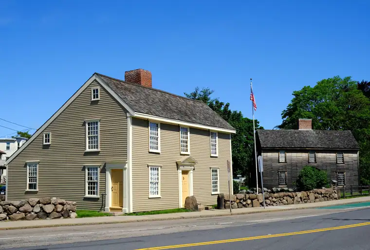 Historical parksAdams National Historical Park
National Historical Park in Massachusetts. $15 per person.
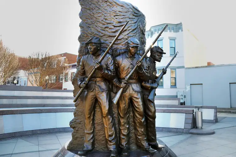 Other Park Service sitesAfrican American Civil War Memorial
Park Service site in District of Columbia. No entrance fee.
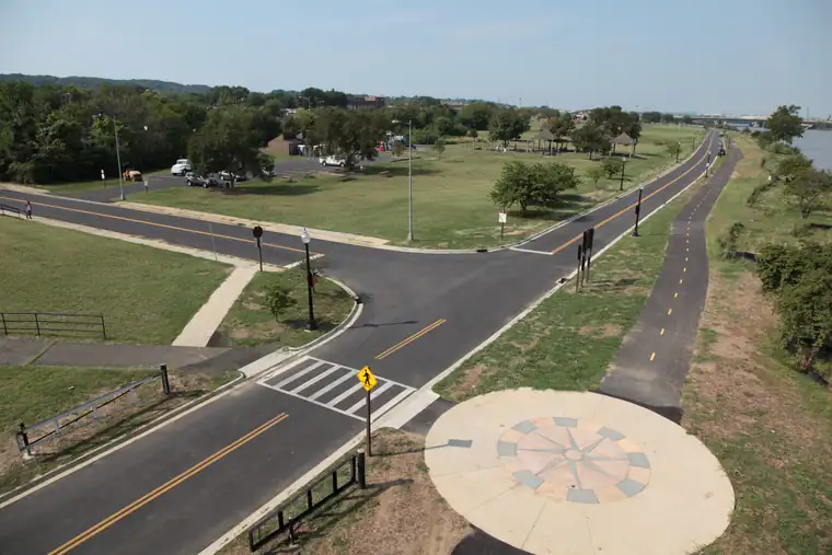 Other Park Service sitesAnacostia Park
Park in District of Columbia. No entrance fee.
 BattlefieldsAntietam National Battlefield
National Battlefield in Maryland. $20 per vehicle. 1 hikes listed.
 TrailsAppalachian National Scenic Trail
National Scenic Trail in 14 states. No entrance fee. 1 hikes listed.