
Whiskeytown National Recreation Area is a national recreation area run by the National Park Service in California.
In the park service’s words
Whiskeytown Lake’s crystal-clear waters are iconic, but this 42,000-acre National Recreation Area offers much more. Explore waterfalls, hike rugged trails, uncover Gold Rush history, and witness the resilience of nature in its post-fire recovery. Adventure awaits at every turn, Whiskeytown is calling!
From the National Park Service (public domain).
Things to do
- Gold Panning at Whiskeytown NRA: Become a gold miner for a day! Gold pan along Clear Creek at the Clear Creek picnic area. Gold was first discovered in Clear Creek in 1848 by Pierson B. Reading. The news of the discovery brought a wave of gold rush miners to Shasta County, many of whom set up camp in what is now Whiskeytown National Recreation Area. T
- Hike to Whiskeytown Falls (2 to 3 Hours): Whiskeytown Falls is a series of cascades which drop 220 feet as the east fork of Crystal Creek winds down the slope of Shasta Bally. The falls are accessed by the James K. Carr trail, a moderately strenuous 3.4 mile round-trip path which follows old logging routes through shade and sun in a forested area that was only
- Paddling on Whiskeytown Lake: Whiskeytown Lake is one of the premier paddle-sport areas in northern California. With almost 40 miles of shoreline there are always new areas to explore. Ranger-led kayak tours are a great way to get an introduction to kayak and paddle boarding with a fun two-hour trip through the history and unique ecosystem of Whisk
- Swimming at Whiskeytown Lake: Whiskeytown Lake is a fantastic location to enjoy a refreshing swim on a hot day. This lake has about 37 miles of shoreline. During the summer months surface water temperatures can reach nearly 80°F. There are three main swim beaches with amenities, Brandy Creek Beach, Oak Bottom Beach and East Beach. All three of thes
Fees and hours
Entrance fee: $25 per vehicle. The America the Beautiful pass covers it.
Hours: Open 24 hours, every day. The park is open year-round, 24 hours a day. Certain areas of the park are subject to seasonal and COVID-19 temporary closures or limited hours. Some areas of the park remain closed due to hazardous conditions from the Carr Fire. Please check the park website for current information.
Camping
| Campground | Sites | Booking | From | RVs | Amenities |
|---|---|---|---|---|---|
| Brandy Creek RV | 15 | Both | $20 | Yes, up to 35 ft | dump station, water, cell signal |
| Peltier Bridge | 9 | Reservable | $20 | No | cell signal |
| Sheep Camp | 4 | Reservable | $20 | No | cell signal |
| Horse Camp | 2 | Reservable | $20 | Yes, up to 25 ft | water, cell signal |
| Brandy Creek | 2 | Reservable | $20 | No | cell signal |
| Crystal Creek | 2 | Reservable | $20 | No | cell signal |
| Dry Creek Group Campground | 2 | Reservable | $80 | No | water, cell signal |
Getting there
Car From Interstate 5, take the Highway 44 West exit toward Downtown Redding and Eureka. From Downtown Redding, follow Highway 299 west toward Eureka for approximately 8 miles to reach the Visitor Center. Plane Commercial air service is available to Redding California located approximately 16 miles from Whiskeytown. Rental vehicles are available.
| Airport | City | Drive to the park | Straight-line miles | Type |
|---|---|---|---|---|
| Redding Municipal Airport (RDD) | Redding, CA | No road route | 18 | Regional |
| California Redwood Coast-Humboldt County Airport (ACV) | Arcata/Eureka, CA | No road route | 83 | Regional |
| Jack Mc Namara Field Airport (CEC) | Crescent City, CA | No road route | 117 | Regional |
| Sacramento International Airport (SMF) | Sacramento, CA | No road route | 143 | Large hub |
Drive times run from the airport to Zion Canyon Visitor Center, estimated with OSRM routing on OpenStreetMap roads at normal speeds; allow extra for traffic, stops and construction.
Miles are straight-line distances.
Visitor centers
- Whiskeytown Visitor Center: Daily, 9:00AM - 5:00PM. Listed below are the current open days and operating hours for the Visitor Center (updated April 4, 2025). The Visitor Center is closed on Thanksgiving Day, Christmas Day (Dec 25th), and New Years Day (Jan 1st).
Weather
Whiskeytown NRA is in a Mediterranean climate, which means hot, dry summers followed by cool, wet winters. Summer temperatures often reach the upper 90's to lower 100 degrees Fahrenheit, as well as the occasional thunderstorm. Winter brings snow to the upper elevations (only occasionally down to the lake level of 1,200'), and rain and ice. See the park weather page for the current weather.
From the National Park Service (public domain).
Know before you go
Drones are banned at almost every park site, and you may not take rocks, plants or artifacts. Pets must be on a leash no longer than 6 feet where they are allowed. Bring no firewood from home.
Nearby
The nearest national park is Lassen Volcanic, about 58 miles away in a straight line.
Sources
- National Park Service Data API: Whiskeytown National Recreation Area (public domain)
- Official website
Last checked 1 November 2026.
Frequently asked questions
Is there an entrance fee at Whiskeytown National Recreation Area?
$25 per vehicle.
Where is Whiskeytown National Recreation Area?
In California. The closest airport with scheduled flights is Redding Municipal Airport, about 18 miles away.
Can you camp at Whiskeytown National Recreation Area?
Yes, at 7 campgrounds the park service lists.
More sites nearby
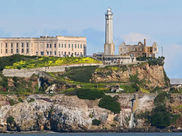 Other Park Service sitesAlcatraz Island
Park Service site in California. No entrance fee. 1 hikes listed.
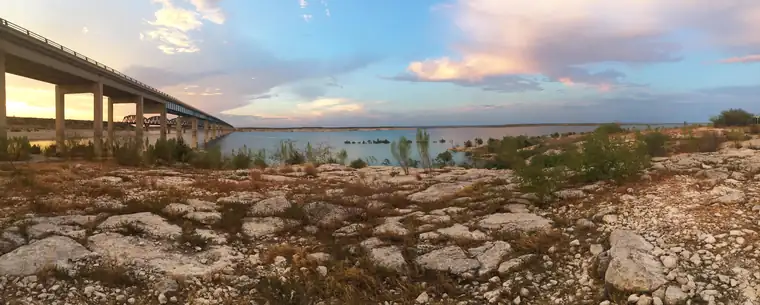 Recreation areasAmistad National Recreation Area
National Recreation Area in Texas. No entrance fee. 2 hikes listed.
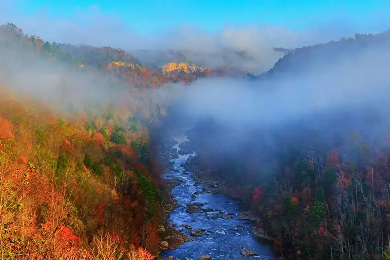 Recreation areasBig South Fork National River & Recreation Area
National River & Recreation Area in Kentucky and Tennessee. No entrance fee.
 Recreation areasBighorn Canyon National Recreation Area
National Recreation Area in Montana and Wyoming. No entrance fee.
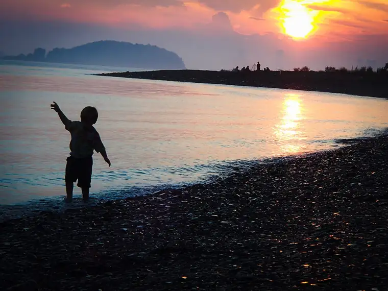 Recreation areasBoston Harbor Islands National Recreation Area
National Recreation Area in Massachusetts. No entrance fee. 3 hikes listed.
 TrailsButterfield Overland National Historic Trail
National Historic Trail in 7 states. No entrance fee.