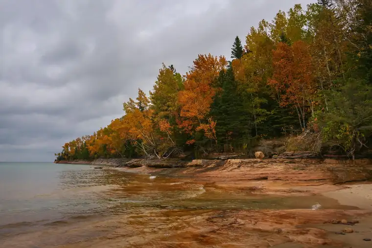
Pictured Rocks National Lakeshore is a national lakeshore run by the National Park Service in Michigan.
In the park service’s words
Sandstone cliffs, beaches, waterfalls, sand dunes, inland lakes, deep forest, and wild shoreline beckon you to visit Pictured Rocks National Lakeshore. The power of Lake Superior shapes the park's coastal features and affects every ecosystem, creating a unique landscape to explore. Hiking, camping, sightseeing, and four-season outdoor opportunities abound.
From the National Park Service (public domain).
Things to do
- Commercial Tours: Several authorized companies offer guided kayak tours, ice climbing activities, and hiking/camping trips in the park.
- Walks and Hikes Over a Mile (1 to 5 Hours): Longer hikes and walks lead to stunning cliff views, remote beaches, the Beaver Basin Wilderness, Au Sable Lighthouse, and many other scenic areas.
- Walks and Hikes of One Mile or Less (30 to 60 Minutes): Pictured Rocks offers 100 miles of hiking and walking trails leading to waterfalls, beaches, forest wilderness, cultural sites, and breathtaking cliff-top views of Lake Superior. Here are some of the shorter trails.
- Kayaking and Kayak Safety: Thinking about kayaking at Pictured Rocks National Lakeshore? Make sure you have the right kind of boat and are aware of all safety issues!
- Drive-In Camping at Pictured Rocks (1 to 14 Days): Pictured Rocks has three drive-in campgrounds open May 15 through Oct. 15. Two are along Lake Superior and the third is on a beautiful inland lake.
- Snowshoeing at Pictured Rocks: Snowshoeing is a very popular winter sport at Pictured Rocks. There is one official trail, but almost the entire park is open for snowshoeing.
- Places To See in One Hour (1 to 1 Hours): You could easily spend half a day exploring any of these locations, but if you only have an hour to see some quick scenic sites, here are some options!
- Swimming at Pictured Rocks: Pictured Rocks has several beautiful beach areas for swimming and wading in Lake Superior. Two of the park's inland lakes have sandy bottom areas suitable for swimming. There are no lifeguarded beaches.
Fees and hours
Entrance fee: $25 per vehicle. The America the Beautiful pass covers it.
Hours: Open 24 hours, every day. Pictured Rocks National Lakeshore is open year-round, 24 hours a day, though most roads are closed by snow in the winter. Sand Point Road is the only park road plowed in winter.
Camping
| Campground | Sites | Booking | From | RVs | Amenities |
|---|---|---|---|---|---|
| Twelvemile Beach Campground | 36 | Reservable | $25 | Yes, up to 36 ft | water |
| Hurricane River Campground | 21 | Reservable | $25 | Yes, up to 36 ft | water |
| Little Beaver Lake Campground | 8 | Reservable | $25 | Yes, up to 36 ft | water |
| Au Sable East Individual Backpacking Sites | 6 | Reservable | $5 | No | water |
| Benchmark Individual Backpacking Sites | 6 | Reservable | $5 | No | water |
| [Chapel Individual Backpacking Sites]() | 6 | Reservable | $5 | No | water |
| [Beaver Creek Individual Backpacking Sites]() | 6 | Reservable | $5 | No | water |
| Sevenmile Creek Individual Backpacking Sites | 5 | Reservable | $5 | No | water |
| Trappers Lake Individual Backpacking Sites | 5 | Reservable | $5 | No | water |
| [Pine Bluff Individual Backpacking Sites]() | 5 | Reservable | $5 | No | water |
| [Coves Individual Backpacking Sites]() | 5 | Reservable | $5 | No | water |
| [Mosquito River Individual Backpacking Sites]() | 5 | Reservable | $5 | No | water |
| [Lowney Creek Individual Backpacking Sites]() | 4 | Reservable | $5 | No | water |
| Masse Homestead Individual Backpacking Sites | 3 | Reservable | $5 | No | none listed |
| [Potato Patch Individual Backpacking Sites]() | 3 | Reservable | $5 | No | none listed |
| [Cliffs Individual Backpacking Sites]() | 3 | Reservable | $5 | No | none listed |
| Masse Homestead Group Backpacking Site | 1 | Reservable | $5 | No | none listed |
| [Au Sable East Group Backpacking Site]() | 1 | Reservable | $5 | No | none listed |
| Sevenmile Creek Group Backpacking Site | 1 | Reservable | $5 | No | none listed |
| [Trappers Lake Group Backpacking Site]() | 1 | Reservable | $5 | No | none listed |
| [Lowney Creek Group Backpacking Site]() | 1 | Reservable | $5 | No | none listed |
| [Coves Group Backpacking Site]() | 1 | Reservable | $5 | No | water |
| [Mosquito River Group Backpacking Site]() | 1 | Reservable | $5 | No | water |
| Cliffs Group Backpacking Site | 1 | Reservable | $5 | No | none listed |
| [Grand Sable Lake Boat-In Site]() | 1 | Reservable | $5 | No | water |
Getting there
Pictured Rocks NL is located on the south shore of Lake Superior in Michigan's Upper Peninsula, between the towns of Munising (west) and Grand Marais (east). Access the west side of the park via Michigan highways M-28 and M-94 to Munising. State highway M-77 leads to Grand Marais on the east side. Alger County Road H-58 runs parallel and through the park, providing access to spur roads that lead to scenic overlooks, trailheads, campgrounds, beaches, etc. Most park roads are closed in winter due to snow.
| Airport | City | Drive to the park | Straight-line miles | Type |
|---|---|---|---|---|
| Marquette Sawyer Regional Airport (MQT) | Gwinn, MI | No road route | 53 | Regional |
| Delta County Airport (ESC) | Escanaba, MI | No road route | 69 | Regional |
| Chippewa County International Airport (CIU) | Kincheloe, MI | No road route | 91 | Regional |
| Gerald R. Ford International Airport (GRR) | Grand Rapids, MI | No road route | 257 | Large hub |
Drive times run from the airport to Zion Canyon Visitor Center, estimated with OSRM routing on OpenStreetMap roads at normal speeds; allow extra for traffic, stops and construction.
Miles are straight-line distances.
Visitor centers
- Munising Falls Visitor Center: Daily, 9:00AM - 5:00PM
- Grand Sable Visitor Center: Daily, 9:00AM - 5:00PM. The Grand Sable Visitor Center is open 7 days a week, 9am - 5pm, starting June 1st.
- [Miners Castle Visitor Contact Station](): Daily, 9:30AM - 4:30PM. The Miners Castle Visitor Contact Station is open late spring to early fall.
Weather
Summers are pleasant with the average highs in June, July, and August in the 70s°F, and lows in the low 50s°F. The coldest months are December through March with average highs of 25°F to 32°F, and average lows in the teens. Annual precipitation averages 31 inches; average annual snowfall is about 140 inches, although winters with more than 200 inches are not uncommon. Snow generally covers the ground from late November through late April.
From the National Park Service (public domain).
Know before you go
Drones are banned at almost every park site, and you may not take rocks, plants or artifacts. Pets must be on a leash no longer than 6 feet where they are allowed. Bring no firewood from home.
Nearby
The nearest national park is Isle Royale, about 149 miles away in a straight line.
Sources
Last checked 1 November 2026.
Frequently asked questions
Is there an entrance fee at Pictured Rocks National Lakeshore?
$25 per vehicle.
Where is Pictured Rocks National Lakeshore?
In Michigan. The closest airport with scheduled flights is Marquette Sawyer Regional Airport, about 53 miles away.
Can you camp at Pictured Rocks National Lakeshore?
Yes, at 25 campgrounds the park service lists.
More sites nearby
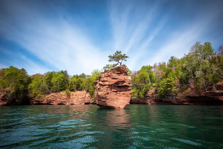 Seashores and lakeshoresApostle Islands National Lakeshore
National Lakeshore in Wisconsin. No entrance fee.
 Seashores and lakeshoresAssateague Island National Seashore
National Seashore in Maryland and Virginia. $25 per vehicle.
 Seashores and lakeshoresCanaveral National Seashore
National Seashore in Florida. $25 per vehicle. 1 hikes listed.
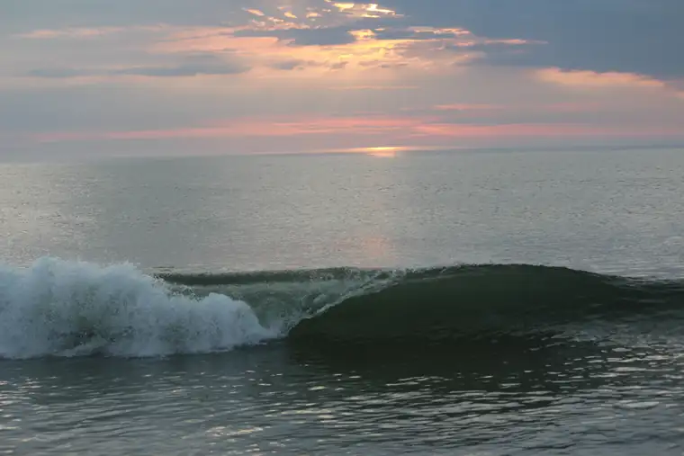 Seashores and lakeshoresCape Cod National Seashore
National Seashore in Massachusetts. $25 per vehicle. 11 hikes listed.
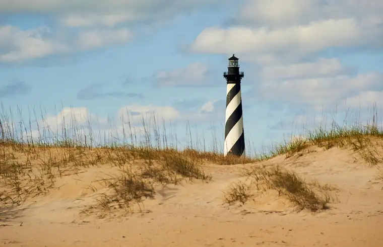 Seashores and lakeshoresCape Hatteras National Seashore
National Seashore in North Carolina. No entrance fee.
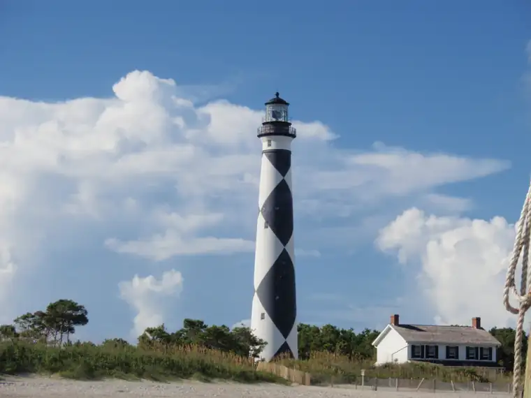 Seashores and lakeshoresCape Lookout National Seashore
National Seashore in North Carolina. No entrance fee.