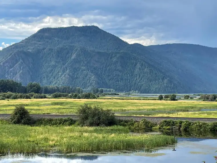
Ice Age Floods National Geologic Trail is a national geologic trail run by the National Park Service in 4 states.
In the park service’s words
At the end of the last Ice Age, 18,000 to 15,000 years ago, an ice dam in northern Idaho created Glacial Lake Missoula stretching 3,000 square miles around Missoula, Montana. The dam burst and released flood waters across Washington, down the Columbia River into Oregon before reaching the Pacific Ocean. The Ice Age Floods forever changed the lives and landscape of the Pacific Northwest.
From the National Park Service (public domain).
Fees and hours
Entrance fee: No entrance fee.
Hours: Open 24 hours, every day. The Ice Age Floods National Geologic Trail is a collection of sites operated and owned by a variety of partners. , Hours of operation and season will vary from site to site. Please check each respective site for more details and information.
Lodging
- Multnomah Falls and Lodge: Oregon’s tallest waterfall (620 ft.) is just 30 minutes east of Portland and 30 minutes west of Hood River. Offering scenic splendor and a gateway to the Gorge’s Waterfall Corridor, the waterfall is the most visited outdoor attraction in the Pacific Northwest due to its constant flow and proximity t
Getting there
To Trail Headquarters from Spokane Take I-90 West At Exit 277, merge onto US-2 toward Davenport/Fairchild AFB/Spokane Airport Just past Wilbur, turn right onto WA-21 Stay left onto Highway 174 Turn right onto WA-155 Stay on WA-155 past Grand Coulee Dam and into the town of Coulee Dam Cross the Columbia River and continue on WA-155 Turn right onto Crest Drive and follow up the hill. The HQ Office is located on the left
| Airport | City | Drive to the park | Straight-line miles | Type |
|---|---|---|---|---|
| Tri Cities Airport (PSC) | Pasco, WA | No road route | 22 | Regional |
| Walla Walla Regional Airport (ALW) | Walla Walla, WA | No road route | 47 | Regional |
| Eastern Oregon Regional Airport at Pendleton (PDT) | Pendleton, OR | No road route | 61 | Regional |
| Spokane International Airport (GEG) | Spokane, WA | No road route | 100 | Large hub |
Drive times run from the airport to Zion Canyon Visitor Center, estimated with OSRM routing on OpenStreetMap roads at normal speeds; allow extra for traffic, stops and construction.
Miles are straight-line distances.
Weather
The National Geologic Trail is a collection of sites stretched across a four state area, the weather will vary from site to site. Please check the weather for your local region, or the region you'll be visiting, through their respective sites.
From the National Park Service (public domain).
Know before you go
Drones are banned at almost every park site, and you may not take rocks, plants or artifacts. Pets must be on a leash no longer than 6 feet where they are allowed. Bring no firewood from home.
Nearby
The nearest national park is Mount Rainier, about 132 miles away in a straight line.
Sources
- National Park Service Data API: Ice Age Floods National Geologic Trail (public domain)
- Official website
Last checked 1 November 2026.
Frequently asked questions
Is there an entrance fee at Ice Age Floods National Geologic Trail?
No entrance fee.
Where is Ice Age Floods National Geologic Trail?
In Washington, Oregon, Idaho, Montana. The closest airport with scheduled flights is Tri Cities Airport, about 22 miles away.
More sites nearby
 TrailsAla Kahakai National Historic Trail
National Historic Trail in Hawaii. No entrance fee. 1 hikes listed.
 TrailsAppalachian National Scenic Trail
National Scenic Trail in 14 states. No entrance fee. 1 hikes listed.
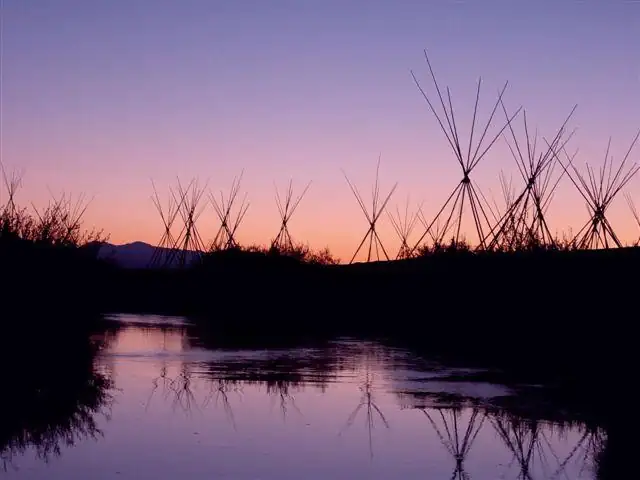 BattlefieldsBig Hole National Battlefield
National Battlefield in Montana. No entrance fee. 1 hikes listed.
 Recreation areasBighorn Canyon National Recreation Area
National Recreation Area in Montana and Wyoming. No entrance fee.
 TrailsButterfield Overland National Historic Trail
National Historic Trail in 7 states. No entrance fee.
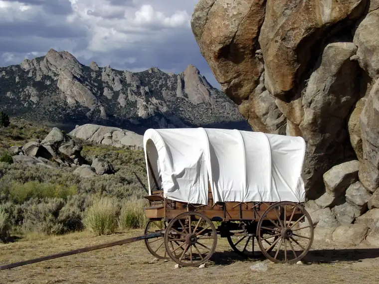 TrailsCalifornia National Historic Trail
National Historic Trail in 10 states. No entrance fee. 1 hikes listed.