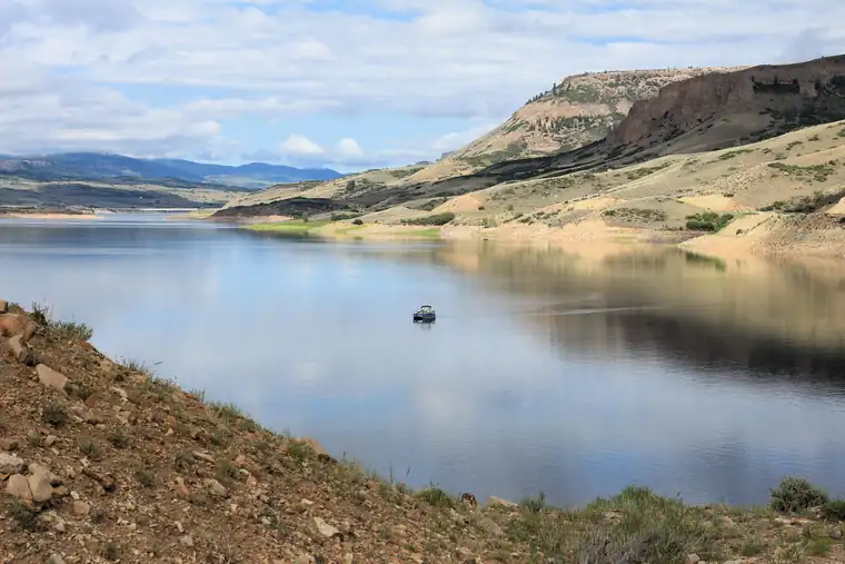
Curecanti National Recreation Area is a national recreation area run by the National Park Service in Colorado.
In the park service’s words
Three reservoirs and surrounding lands make up this recreation area in western Colorado. It is a landscape of tradeoffs; natural and human made features exist together. Geologic wonders are abundant from the sagebrush shrublands to forests. Visitors can experience the park year-round on both land and water.
From the National Park Service (public domain).
Things to do
- Hike Curecanti Creek Trail (2 to 3 Hours): After descending from the high rim of the Upper Black Canyon of the Gunnison, the trail follows Curecanti Creek as it descends toward Morrow Point Reservoir.
- Hike Pine Creek Trail (1 to 2 Hours): This trail follows Pine Creek as it cascades into the depths of the upper Black Canyon to Morrow Point Reservoir. It follows the old narrow gauge railroad bed along the reservoir.
- Boat on Morrow Point Reservoir: For the more adventurous, Morrow Point Reservoir is a great location for canoeing or kayaking. The easiest access to launch hand-carried craft is via the Pine Creek Trail.
- Boat on Crystal Reservoir: Crystal Reservoir provides backcountry flatwater boating opportunities. Hand-carried craft only. Access is from Mesa Creek Trail located at Cimarron.
- Hike Mesa Creek Trail (1 to 2 Hours): This trail crosses Crystal Reservoir via footbridge and meanders along the river's edge for views of the sheer canyon walls.
- Hike Neversink Trail (30 to 60 Minutes): This short trail is located nearest to Gunnison along the Gunnison River and provides good birdwatching opportunities.
- Boat on Blue Mesa Reservoir: Blue Mesa Reservoir, the largest body of water in Colorado, has 96 miles of shoreline and provides opportunities for motorboating, paddleboarding, kayaking, canoeing, and more.
- Hike Dillon Pinnacles (2 to 3 Hours): Ascending through sagebrush, ponderosa pine and riparian habitats, this 1.9-mile (3.2 km) trail offers spectacular views of Blue Mesa Reservoir, the distant San Juan Mountain peaks, and the eroded volcanic Dillon Pinnacles.
Fees and hours
Entrance fee: No entrance fee.
Hours: Open 24 hours, every day. Open 24 hours per day, 365 days a year.
Camping
| Campground | Sites | Booking | From | RVs | Amenities |
|---|---|---|---|---|---|
| Elk Creek Campground | 155 | Reservable | $24 | Yes, up to 55 ft | hookups, dump station, water, cell signal |
| Lake Fork Campground | 90 | Both | $24 | Yes, up to 55 ft | dump station, water, cell signal |
| Stevens Creek Campground | 53 | First come | $20 | Yes, up to 55 ft | water, cell signal |
| Ponderosa Campground | 28 | See park | $20 | Yes | none listed |
| Cimarron Campground | 21 | See park | $24 | Yes | water |
| East Portal Campground | 15 | First come | $20 | Yes, up to 22 ft | water |
| Dry Gulch Campground | 9 | See park | $20 | Yes | water |
| Gateview Campground | 6 | First come | n/a | No | none listed |
| East Elk Creek Group Campground | 1 | Reservable | $120 | Yes | water |
| Red Creek Campground | 1 | Reservable | $60 | Yes, up to 22 ft | water |
Getting there
Curecanti is located between the Colorado towns of Gunnison (to the east), Montrose (to the west), and Lake City (to the south). The West Elk Mountain Wilderness area borders Curecanti to the north. U.S. Highway 50 runs the length of Curecanti east to west.
| Airport | City | Drive to the park | Straight-line miles | Type |
|---|---|---|---|---|
| Gunnison Crested Butte Regional Airport (GUC) | Gunnison, CO | No road route | 22 | Regional |
| Montrose Regional Airport (MTJ) | Montrose, CO | No road route | 31 | Regional |
| Telluride Regional Airport (TEX) | Telluride, CO | No road route | 47 | Regional |
| City of Colorado Springs Municipal Airport (COS) | Colorado Springs, CO | No road route | 144 | Large hub |
Drive times run from the airport to Zion Canyon Visitor Center, estimated with OSRM routing on OpenStreetMap roads at normal speeds; allow extra for traffic, stops and construction.
Miles are straight-line distances.
Visitor centers
- [Elk Creek Visitor Center](): Mon 9:00AM - 4:00PM; Tue 9:00AM - 4:00PM; Wed 9:00AM - 4:00PM; Thu 9:00AM - 4:00PM; Fri 9:00AM - 4:00PM; Sat Closed; Sun Closed. The visitor center is open Monday through Friday from 9:00 am to 4:00 pm.
Weather
During spring and fall, temperatures range from 44°F to 70°F (7°C to 34°C) with overnight lows from the teens to about freezing (-9°C to 2°C). In summer, temperatures are usually in the 70°F to 80°F (21°C to 27°C). Nights are usually 40°F to 50°F (4°C to 10°C). The wind often picks up at 12 pm and continues through the afternoon. Thunderstorms are common. In winter, temperatures usually reach 20°F to 30°F (-7°C to -1°C) and lows often dip below zero (-18°C).
From the National Park Service (public domain).
Know before you go
Drones are banned at almost every park site, and you may not take rocks, plants or artifacts. Pets must be on a leash no longer than 6 feet where they are allowed. Bring no firewood from home.
Nearby
The nearest national park is Black Canyon of the Gunnison, about 22 miles away in a straight line.
Sources
Last checked 1 November 2026.
Frequently asked questions
Is there an entrance fee at Curecanti National Recreation Area?
No entrance fee.
Where is Curecanti National Recreation Area?
In Colorado. The closest airport with scheduled flights is Gunnison Crested Butte Regional Airport, about 22 miles away.
Can you camp at Curecanti National Recreation Area?
Yes, at 10 campgrounds the park service lists.
More sites nearby
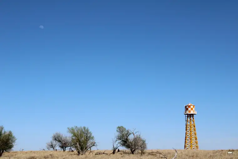 Historic sitesAmache National Historic Site
National Historic Site in Colorado. No entrance fee.
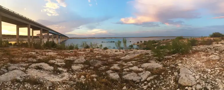 Recreation areasAmistad National Recreation Area
National Recreation Area in Texas. No entrance fee. 2 hikes listed.
 Historic sitesBent's Old Fort National Historic Site
National Historic Site in Colorado. No entrance fee. 1 hikes listed.
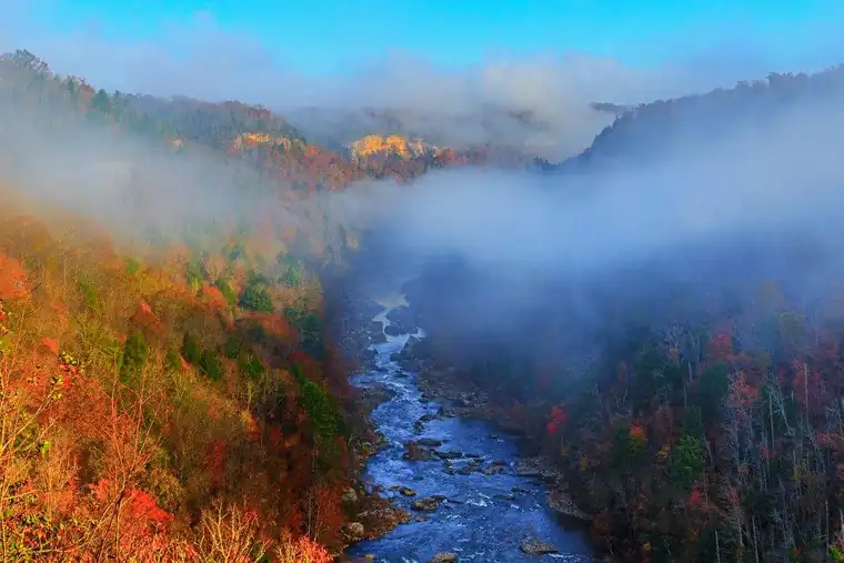 Recreation areasBig South Fork National River & Recreation Area
National River & Recreation Area in Kentucky and Tennessee. No entrance fee.
 Recreation areasBighorn Canyon National Recreation Area
National Recreation Area in Montana and Wyoming. No entrance fee.
 Recreation areasBoston Harbor Islands National Recreation Area
National Recreation Area in Massachusetts. No entrance fee. 3 hikes listed.